Kara Heritage Trail - Ancient caravan route
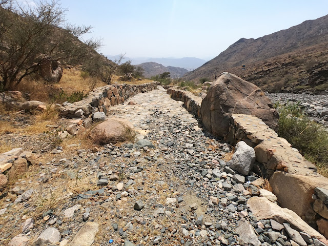
The Kara Heritage Trail is part of the ancient caravan route that connected Mecca and Taif. Known as Darb Al-Jamalah, “the cameleers’ way”, the route is mentioned in historical accounts from the 11th century CE. It was regularly used by pedestrians until the mid-1960s when the spectacular freeway between Mecca and Taif was built. (Arab News) Today the ancient trail is not accessible in its full length, except for the restored Kara Trail, named after the peak above the wadi.
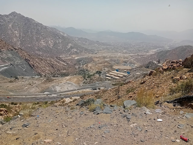
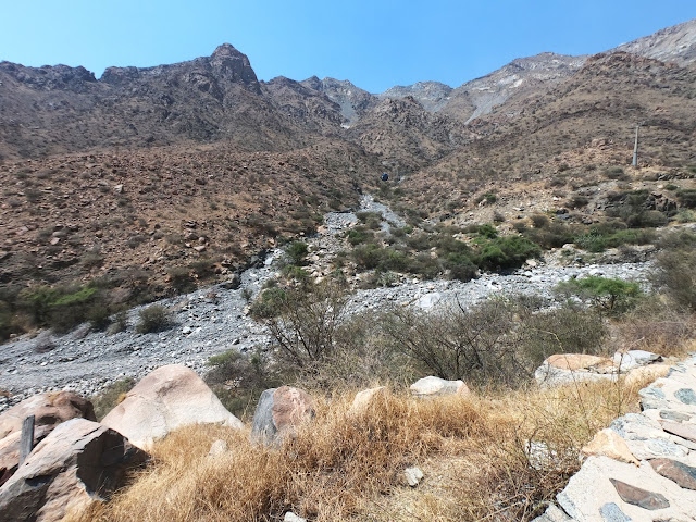
The setting is very dramatic in the steep gully that descends from the high plateau to the plain next to a stream. For a panoramic perspective, the upper station of the cable car provides an excellent vantage point overlooking the gully (refer to the Al-Hada section in the Taif chapter). It’s worth stopping there on your way to the trailhead or on the way back, as you won’t have many chances to stop and enjoy the view along the winding road. The hike itself takes a couple of hours, but with transport it is a half-day trip.
The hike in Google Maps
Open the menu to turn waypoints on and off.
Hikes around Riyadh: Edge of the World | Camel Trail | Graffiti Rock ; Abha: Jabal Soudah | Wadi Lajab | Jabal Ferwa ; Najran: Raoum ; Bisha: White Mountain ; Taif: Kara Heritage Trail | Harithi Escarpment | Al-Waba Crater ; Medina: Mount Sela | Mount Uhud ; Al-Ula: Wadi al-Naam | Mahash Viewpoint | Dadan Trail ; Tabuk: Wadi al-Deesah | Jabal Shayban | Wadi al-Aqlah | "Real Mount Sinai"
The hike in photos


