Tuwaiq Mountains - Camel Trail
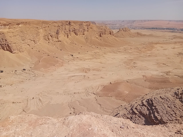
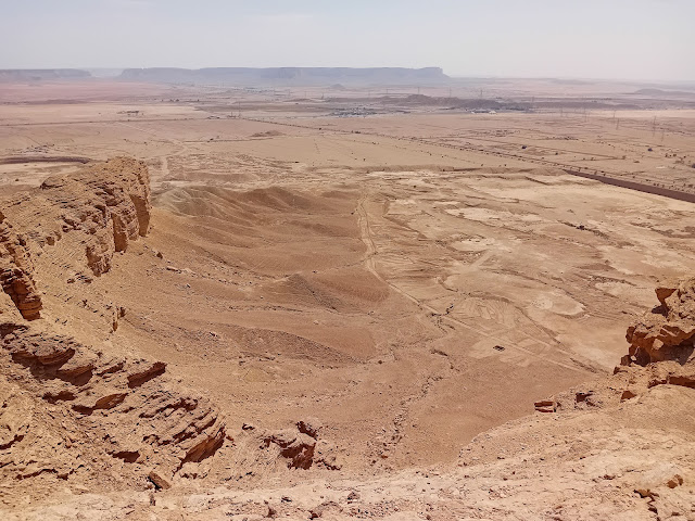
Several camel trails existed in the past that led over the Tuwaiq Mountains. These ancient caravan routes date back to the first Islamic period around 1400 years ago. They were abandoned, but recently some have been turned into hiking trails. The one described here is known as Camel Trail 1, or the Abu Al-Qud Route. To the northwest, on the other side of the Mecca road, are Camel Trails 2 and 3, but they are closed at present due to development in that area. At the top of Camel Trail 1, a sunset and picnic spot was developed, but at the time of writing it wasn’t possible to approach it by car from the top as the road was closed due to construction work. However, it can still be reached from the bottom, and an ordinary car will get you to the trailhead. This area is near the village of Qasoor al-Maqbil, and the Red Sand Dunes are also not far, so you could combine your hike with visiting these places as well. It’s an easy to moderate hike, taking around 2 hours for the return journey.
The hike in Google Maps
Open the menu to turn waypoints on and off.
Hikes around Riyadh: Edge of the World | Camel Trail | Graffiti Rock ; Abha: Jabal Soudah | Wadi Lajab | Jabal Ferwa ; Najran: Raoum ; Bisha: White Mountain ; Taif: Kara Heritage Trail | Harithi Escarpment | Al-Waba Crater ; Medina: Mount Sela | Mount Uhud ; Al-Ula: Wadi al-Naam | Mahash Viewpoint | Dadan Trail ; Tabuk: Wadi al-Deesah | Jabal Shayban | Wadi al-Aqlah | "Real Mount Sinai"
The hike in photos


